

















Google Earth has always been one of those tools that makes you feel like a digital explorer — zooming into your old neighborhood, checking out famous landmarks, or just satisfying your curiosity about far-off places. But a newly launched AI feature nearly turned that trusted platform into something far more dangerous: a generator of fake satellite imagery.
Google recently rolled out an experimental AI-powered feature called “Nano Banana” for Google Earth, which allowed users to creatively transform aerial views of real-world locations using artificial intelligence. Sounds fun, right? The problem is that it didn’t take long for people to realize the technology had a pretty serious dark side.
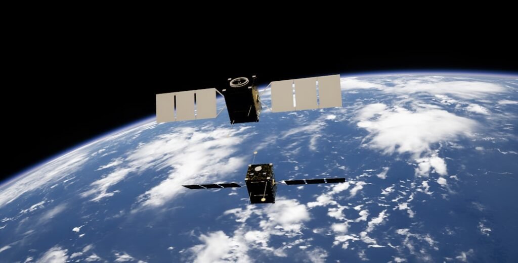
Critics and security experts quickly raised alarms that the tool could be weaponized to produce convincing fake satellite images — essentially deepfakes from the sky. Think about the implications: fabricated imagery of military installations, disputed borders, natural disaster zones, or sensitive infrastructure could easily be created and spread as misinformation. That’s not a hypothetical nightmare; it’s a genuinely destabilizing scenario.
Google, to its credit, moved relatively quickly once the issue gained traction. Alphabet, Google’s parent company, pulled the feature and announced a pause while the team re-evaluates the tool’s safeguards and policy compliance. Reuters confirmed the rollback was tied to concerns over potential policy violations, suggesting internal guardrails hadn’t been strong enough before launch.
The Atlantic didn’t hold back in its coverage, calling the move an example of Google “ruining one of its most important tools” — a sentiment that reflects broader frustration with tech companies rushing AI features to market before fully thinking through the consequences. NPR framed it as “deepfakes in the sky,” which honestly sums up the concern pretty well.
This episode is a reminder that AI innovation, especially when layered onto platforms people rely on for factual, real-world information, carries enormous responsibility. Satellite imagery isn’t just for geography buffs — it’s used by journalists, researchers, governments, and aid organizations to verify ground truth in some of the world’s most critical situations.
Google will need to do more than just hit pause. Rebuilding trust here means being transparent about what guardrails are being put in place before any similar feature ever goes live again. The sky, it turns out, isn’t the limit — it’s the stakes.